Guide
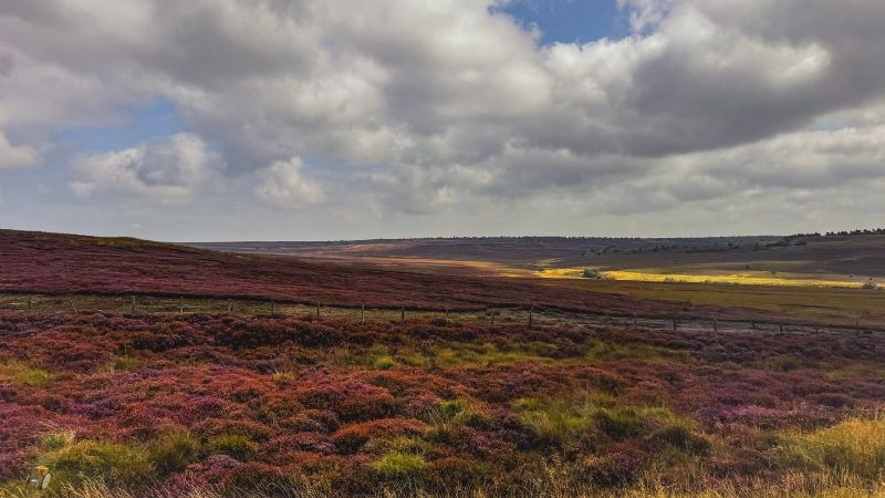
Heather season: the moors in purple
For a few weeks in August the largest expanse of heather moorland in England turns purple. Where and when to see it.
Footpaths, bridleways, byways and open access moorland explained, with the rules for dogs and how to report a blocked path.
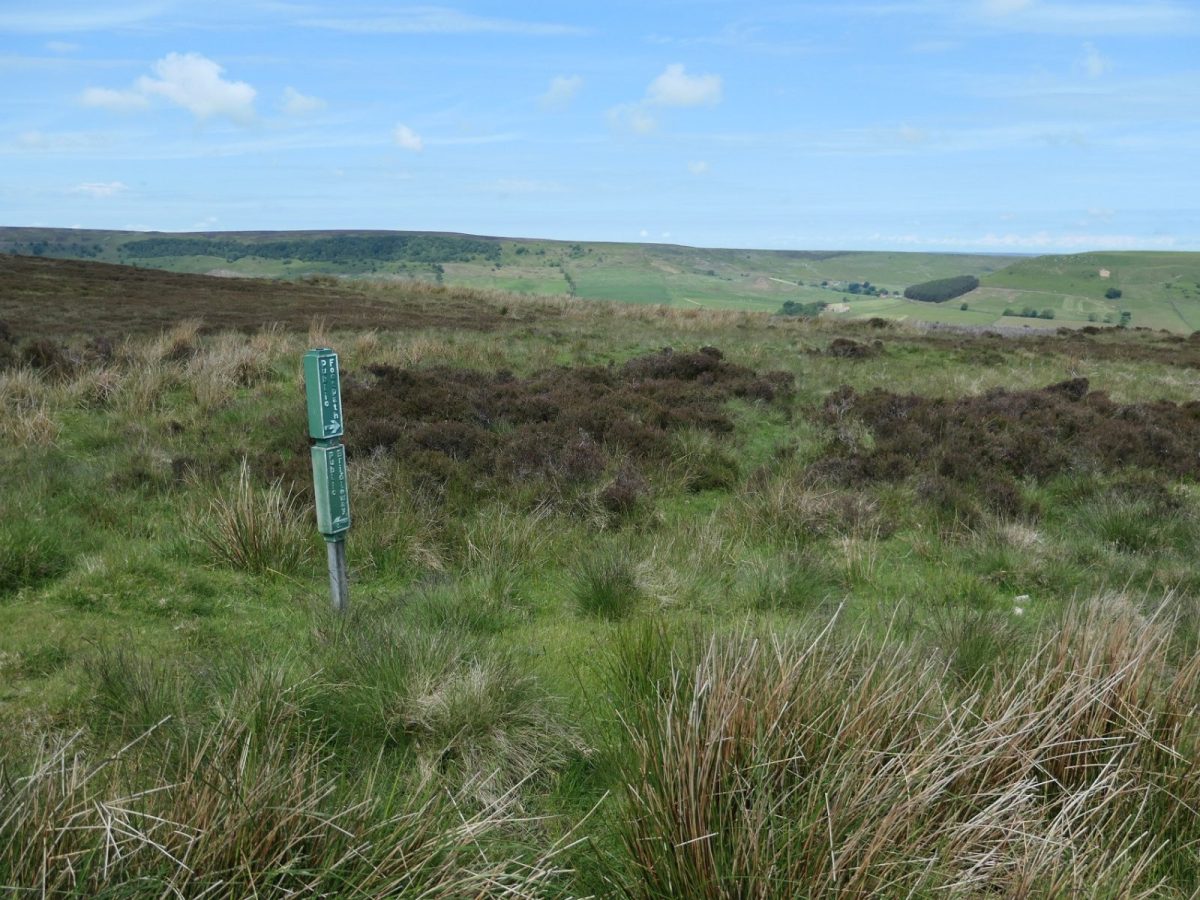
The North York Moors has around 1,400 miles (2,200km) of public rights of way, and most of the open moorland and Forestry England woodland is open access land you can explore on foot. Knowing which is which tells you where you can go, and whether you can take a bike, a horse or a dog.
Signposts and waymarkers are colour coded, and the same routes are marked on Ordnance Survey maps.
On open access land, which covers most of the moorland and common land, you can walk where you like without sticking to a path. Ordnance Survey Explorer maps show it with an orange border. Forestry England has dedicated much of its woodland as access land too, and lets cyclists and horse riders use the main forest tracks.
Meeting cattle on a path is normal. Beef bulls can be kept in fields with public paths if cows or heifers are with them. Dairy bulls should never be in a field crossed by a right of way. To stay safe:
Rights of way are sometimes diverted or closed for a while, and printed maps are not always up to date. Before a long walk, check the National Park's rights of way notices and its interactive rights of way map.
If you find a blocked path, a broken gate or stile, a missing sign or an intimidating dog, tell the National Park Authority using its rights of way feedback form. Its rangers fix the most important routes first, such as National Trails and promoted walks, so low-priority problems can take a long time. Landowners are responsible for gates and stiles, but rangers often help on busier routes. Report dog fouling to the local district or borough council.
For a few weeks in August the largest expanse of heather moorland in England turns purple. Where and when to see it.
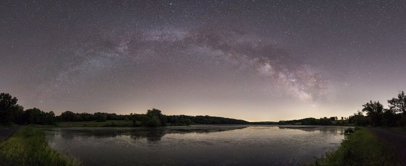
The North York Moors has some of the darkest skies in England. Where to go, when to go and what you will see.
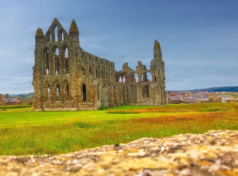
Bram Stoker stayed in Whitby in 1890 and put the town into the most famous vampire story ever written. Follow the trail.
Occasional emails on seasonal highlights, events and new walks. No spam, unsubscribe any time.