Guide
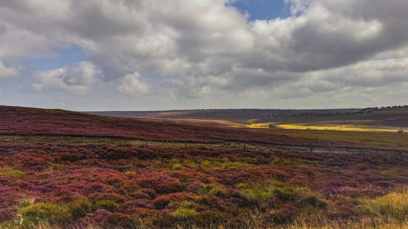
Heather season: the moors in purple
For a few weeks in August the largest expanse of heather moorland in England turns purple. Where and when to see it.
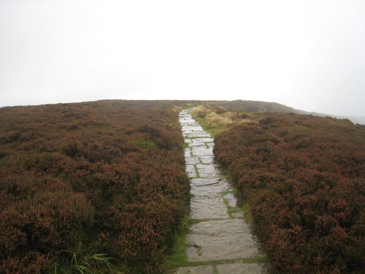
A nine-day plan for the 109-mile National Trail, with where to stop, what to see and how to shorten it.
Rievaulx Abbey, then over Cold Cam to the escarpment. Sleep at Sutton Bank or in Kilburn.
The finest view in England, Gormire Lake, Whitestone Cliff and Black Hambleton. Osmotherley has pubs and a hostel.
The Cleveland Hills: Carlton Bank, Cringle Moor, Cold Moor and the Wainstones. The hardest day. Stay at Great Broughton or Chop Gate.
Urra Moor, the highest point of the moors, then Bloworth Crossing and down to Kildale.
Captain Cook's Monument, Roseberry Topping, Guisborough Woods and the first sight of the sea.
Huntcliff, Skinningrove and Boulby, the highest cliff on the east coast.
Runswick Bay, Kettleness, Sandsend beach and the West Cliff.
The abbey, Saltwick, Robin Hood's Bay, Ravenscar and Hayburn Wyke. Split at Robin Hood's Bay if you can.
The castle, Cayton Bay and Filey Brigg, where the trail ends.
For a few weeks in August the largest expanse of heather moorland in England turns purple. Where and when to see it.
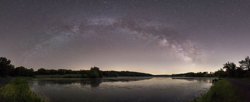
The North York Moors has some of the darkest skies in England. Where to go, when to go and what you will see.
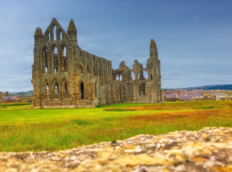
Bram Stoker stayed in Whitby in 1890 and put the town into the most famous vampire story ever written. Follow the trail.
Occasional emails on seasonal highlights, events and new walks. No spam, unsubscribe any time.